 Drone Compare
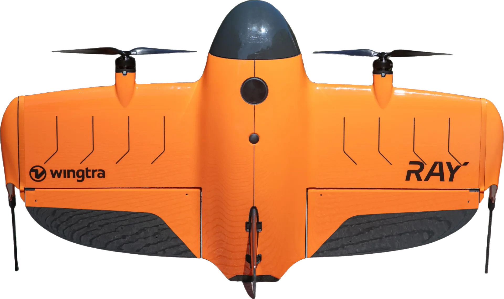
Wingtra RAY
Drone specifications
Wingtra RAY
Specs, price, reviews, and known issues in one place.
No reviews yetWrite the first review
- Price (US)
- $21,193
- Max Flight Time
- 59 min
- Max Speed
- 22 m/s
RAY overview
The Wingtra RAY is a mapping drone released in June 2025, with a triple-camera system (61 MP Full Frame, 61 MP Full Frame and 61 MP Full Frame) and up to 59 minutes of flight.
At 120 m the MAP61 resolves about 2.67 cm/px, one photo covers about 4.28 ha and one flight maps up to 553 ha.
RAY by use
Photo and video
61MPFull Frame sensor
- With the MAP61
- 3 cameras
Inspection
IP53water and dust rating
- Interchangeable payload
Mapping and survey
2.67cm/pxat 120 m
- Mechanical shutter
Flight and transport
59minflight time
- EU class C3, C6
- Wind up to 12 m/s
- Video link 10 km (FCC)
- -10 to 40 °C
Safety and rules
Remote IDbuilt-in
- Parachute (add-on)
- Blue UAS Cleared (US)
- Green UAS Certified (US)
Flight Time vs Price
Effective Megapixels vs Price i
RAY mapping at 120 m
Side view
The drone and the pixel mark are drawn enlarged. Everything else is to scale.
Drawn to scale for the MAP61 camera flying 120 m above flat ground.
- One photo covers
- 4.28ha
- 253 x 169 m on the ground
- Survey speed
- 79.2km/h
- Photo size, pixels
- 9504 x 6336
- Accuracy, horizontal
- 3cm
- Accuracy, vertical
- 3cm
Area mapped in one flight
553ha
About 775 football pitches.
Strips flown at 79.2 km/h for 70 % of the 59 min flight time.
The small box is one photo.
Similar drones
 | 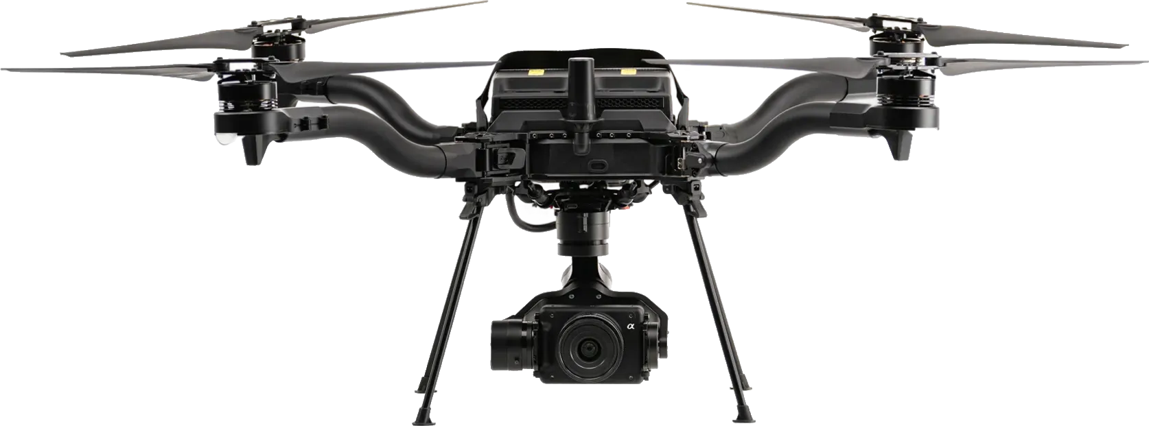 | 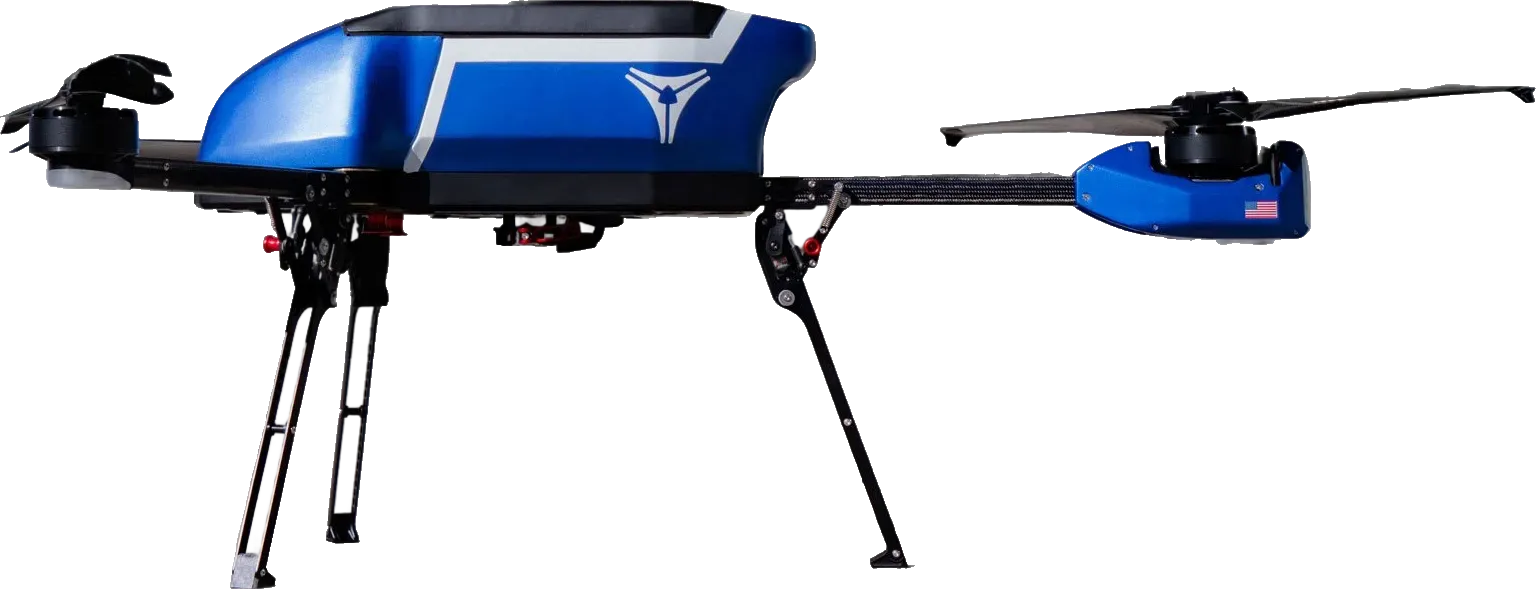 | |
|---|---|---|---|
| Mapping at 120 m | |||
| Ground resolution (cm/px) | 2.67 | 1.89finer | 1.29finer |
| One photo covers (ha) | 4.28 | 2.15smaller | 1smaller |
| One flight maps (ha) | 553 | 194.565 % less | No survey speed |
| Equipment | |||
| RTK | Not stored | Add-on | Yes |
| Mechanical shutter | Yes | Yes | Yes |
| Pricing | |||
| Price (US) | $21,193 | $22,995$1,802 more | $21,450$257 more |
RAY specifications
Identity
- Manufacturer
- Wingtra
- Rating
- Known Issues
- Release Date
- Jun 30, 2025
- Availability
- Available
- EU Drone Class
- C3C6
- US Procurement
- Blue UAS ClearedGreen UAS Certified
- Platform Type
- VTOL
Pricing
- Price (EU)(€)
- €18,300
- Price (US)($)
- $21,193
Links
- Product Page
- wingtra.com
Physical
- Max Takeoff Weight(g)
- 5,200 g
- Folded Dimensions(mm)
- 1,250 × 680 × 120 mm
- Unfolded Dimensions(mm)
- 1,250 × 680 × 120 mm
- Max Payload(g)
- 1,250 g
- Interchangeable Payload
- Yes
- IP Rating
- IP53
- Operating Temperature(°C)
- -10°C to 40°C
Flight
- Max Flight Time(min)
- 59 min
- Max Speed(m/s)
- 22 m/s
- Max Speed (EU)(m/s)
- 22 m/s
- Max Ascent Speed(m/s)
- 8.8 m/s
- Max Descent Speed(m/s)
- 6 m/s
- Max Altitude(m)
- 5,000 m
- Wind Resistance(m/s)
- 12 m/s
Payload
| Camera | Camera 1MAP61 | Camera 2SURVEY61 | Camera 3INSPECT |
|---|---|---|---|
| Sensor Size | Full Frame | Full Frame | Full Frame |
| Sensor Area(mm²) | 853.23 mm² | 853.23 mm² | 853.23 mm² |
| Pixel Size(µm) | 3.76 µm | 3.76 µm | 3.76 µm |
| Megapixels(MP) | 61 MP | 61 MP | 61 MP |
| Focal Length | 17mm | 35mm | 85mm |
| Field of View | 103.4° | 69.5° | 28.6° |
| Mechanical Shutter | Yes | Yes | Yes |
| Max Photo Resolution | 9504x6336 | 9504x6336 | 9504x6336 |
| Min Photo Interval | 0.4s | 0.4s | 0.4s |
Navigation
- GNSS
- GPSGLONASSGalileoBeiDou
Transmission
- Operating Frequency
- 2.4 Ghz
- Max Range (CE)(km)
- 10 km
- Max Range (FCC)(km)
- 10 km
- Cellular
- Yes
Features
- Remote ID
- Built-in
- Parachute
- Add-on
Mapping
Mapping Performance 1MAP61
- GSD at 120m(cm/px)
- 2.67 cm/px
- Frame Coverage at 120m(ha)
- 4.28 ha
- Flight Coverage at 120m(ha)
- 553 ha
- Max Survey Speed(km/h)
- 79.2 km/h
- Horizontal Accuracy(cm)
- 3 cm
- Vertical Accuracy(cm)
- 3 cm