 Drone Compare
Drones for mapping and surveying
One mapping flight at 120 m, for each of the 25 drones that have mapping figures.
- Ground resolutionOne pixel on the ground. Smaller is finer.
- One photo coversGround in one photo. 1 ha is 100 × 100 m.
- One flight mapsOn 70 % of one battery, 60 % side overlap.
- Flying height
- 120m
- Front overlap
- 80%
- Side overlap
- 60%
- Flight time used
- 70%
Every drone and camera
Sorted by the area one flight maps, largest first. Click a column heading to sort by it.
16 of 29 cameras
| Drone and camera | RTK | Mech. shutter | ||||
|---|---|---|---|---|---|---|
 | 2.67 | 4.28 | 553 | $21,193 | Not stored | Yes |
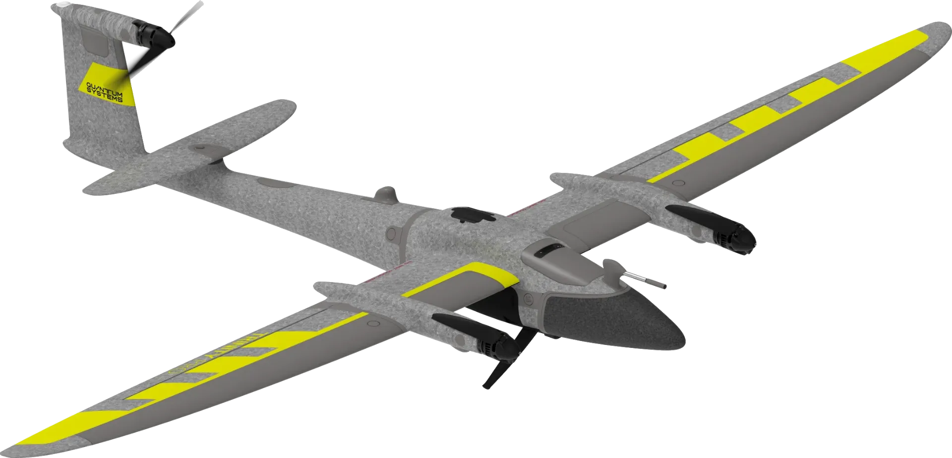 | 1.89 | 2.15 | 461 | $23,789 | No | Yes |
 | 2.19 | 2.15 | 266.9 | $10,450 | Yes | Yes |
 | 2.19 | 2.15 | 248.8 | $15,999 | Yes | Yes |
 | 2.19 | 2.15 | 248.8 | $13,649 | Yes | Yes |
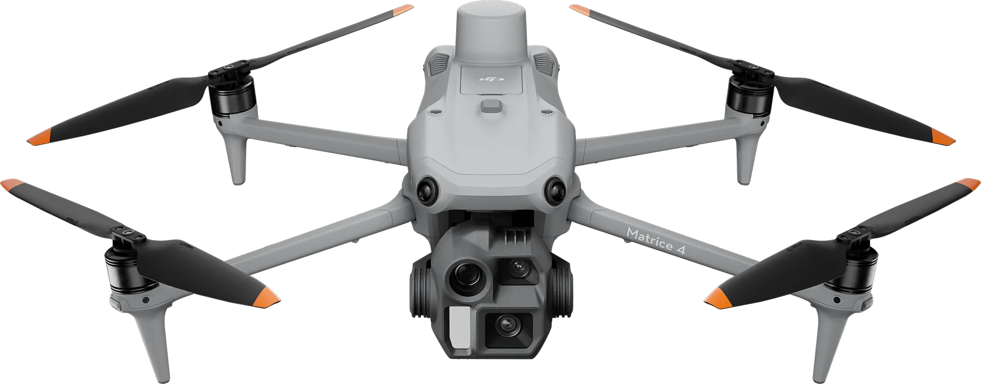 | 3.2 | 2.14 | 208.6 | $5,189 | Yes | Yes |
 | 1.89 | 2.15 | 194.5 | $22,995 | Add-on | Yes |
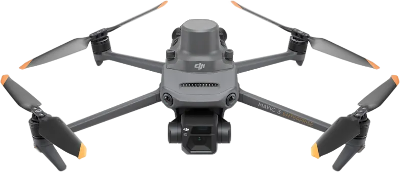 | 3.2 | 2.14 | 191.6 | $4,950 | Add-on | Yes |
 | 3.2 | 2.14 | 183 | $5,729 | Add-on | Yes |
 | 1.89 | 2.15 | 167.3 | $20,000 | Add-on | Yes |
 | 3.29 | 2.16 | 127 | $5,999 | Yes | Yes |
 | 0.82 | 0.4 | No survey speed This drone has no published survey speed, and the area one flight maps is computed from it. | $21,450 | Yes | Yes |
 | 0.82 | 0.4 | No survey speed This drone has no published survey speed, and the area one flight maps is computed from it. | $38,950 | Yes | Yes |
| 1.29 | 1 | No survey speed This drone has no published survey speed, and the area one flight maps is computed from it. | $21,450 | Yes | Yes |
| 1.29 | 1 | No survey speed This drone has no published survey speed, and the area one flight maps is computed from it. | $38,950 | Yes | Yes |
 | 1.89 | 2.15 | No survey speed This drone has no published survey speed, and the area one flight maps is computed from it. | $39,650 | Add-on | Yes |